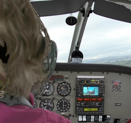
The pilot
|
The pilot |
A flight over the valley |
|
It was decided that what this website really needs is some aerial
photography. The Eglinton Flying Club
who - as luck would have it - are the proud owners of a Piper PA-28 Cherokee aircraft - kindly made this dream a reality. Unfortunately the weather was not the best . Below is the corner of the airfield the flying club calls home. The helicopter just came for a short visit and was not available to hopeful photographers. 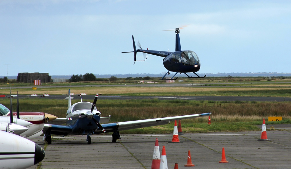 Our charming pilot got us safely off the ground and as Eglinton airport is on the shores of Lough Foyle, the first thing we saw when airborne was the coast of Donegal on the other side of the lough. It seems that they had all the sunlight - again!  Only a few moments later we could look down on Greencastle, near the beginning of Lough Foyle. It would have been nice if the ferry to Magilligan Point would have been visible, but the cowards hid when they heard our engine. I think someone told them that this was the first ever flight for our lady pilot. The harbour of Greencastle stands out quite well as indeed do all the bungalows - many of them built as part of the disastrous building boom some years back. 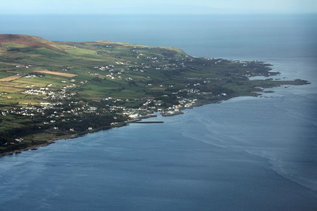 We are flying over Northern Ireland now. Below us is the mouth of the Roe with Lough Foyle and the coast of Donegal in the background. Notice the railway bridge in the centre and the sea wall to the left of the view. The white spots on the fields in the estuary are swans. Thousands of these beautiful birds spend the Winter here. 
View of Benevenagh mountain, the Magilligan peninsula and Donegal. This
is one of the photographs which could definitely have done with some
sunlight.

The townlands of Freehall and Ballyhanna. Somewhere down there you can find the offices of the News Browser. the Roe Valley's famous on-line newspaper.

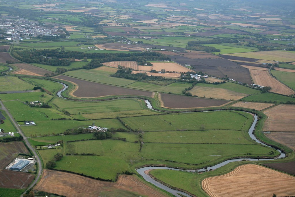
The meanders of the river Roe on its way from the Sperrins to Lough Foyle. Limavady is at the top left of the view.
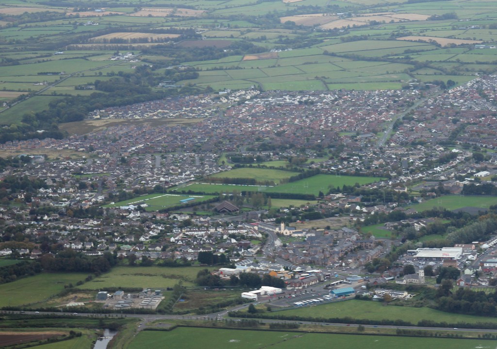
And here is part of Limavady. The new by-pass is at
the bottom. I was aiming for the centre of town which is to the right of
the right edge of this picture. Better luck next time!
 A view of Ballykelly, with the church of Tamlaght Finlagan in the top left. 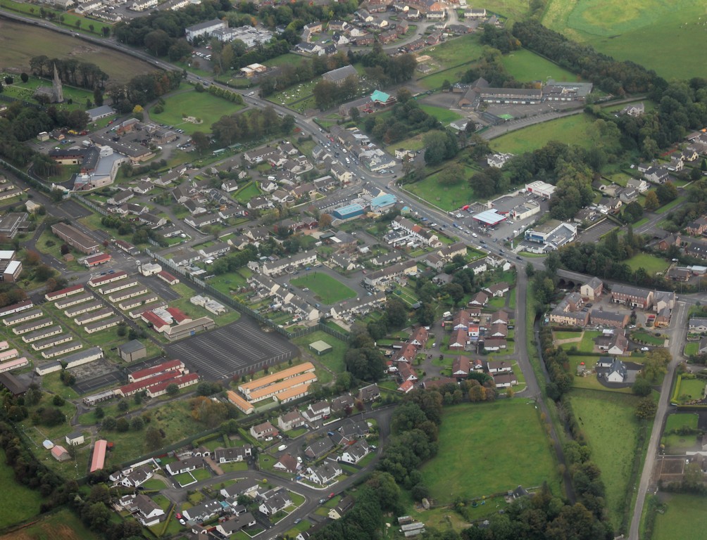
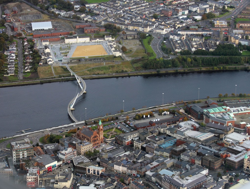
We have left the Roe Valley and are now over the city at the end of the lough. How peaceful it all looks from up here.

Here is the peace bridge and the Guildhall from high above. We are not sure what that ugly tan square is all about.
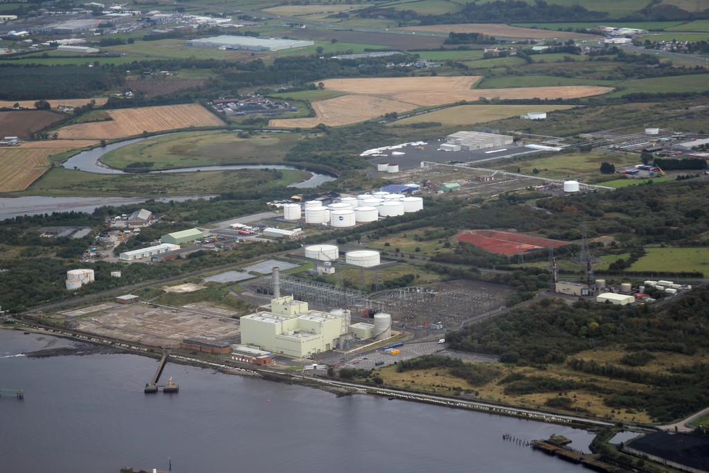
Many people from the Roe Valley - including this one
- used to work here. You are looking at part of the Maydown
industrial estate. On the bottom left is what is left of the floor of
Coolkeeragh power station and behind that used to be BOC's carbide plant
and Wolf plant. All gone but not forgotten, as they say.
 |
 It's time to head back to the airport. Due to contrary winds and unfortunate tilts of the aircraft, no picture of this important event could be taken. But let us not forget that planes and pilots are all very fine, but where would they all be without a ground crew and some really good aircraft-mechanics who can almost perform miracles with a simple pair of pliers? Not up there anyway! |
Back to the start

|