Ships on
Lough Foyle
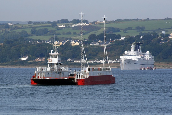
Ships on
|
|
All
ships larger than 200 tons and all passenger ships must carry an AIS
transmitter, which broadcasts their position, name and various other
bits of information at all times. With the right computer program, a
radar-like display of marine movements can be produced. Various
amateurs link their receivers to the web so that anyone can see this.
The
display below will show ships' positions on Lough Foyle if:
Certain local ships can be expected
most of the time.
Particularly the Shrove, a small cabin cruiser belonging to the harbour
authority, the 'Lough Foyle' - a dredger - and the 'Foyle Pilot' - a
pilot
boat - make regular appearances. Ships on the move are shown with the
top-view
outline of a ship, stationary objects are shown as a diamond. Clicking
with the left button on any ship displays a picture and some information
about the vessel. Click and drag the map if you want to explore a
different part of the area. Don't be fooled by the appearance of a lone marker North by East of Limavady - on what appears to be bone dry land. This is not a steamer ploughing through Benevenagh forest, but a way-station belonging to the Belfast Coast Guard. It transmits navigational signals. Occasionally you may spot a ship not only on dry land but crossing mountain ranges at high speed. If this customer is marked SAR, it will be the Sea/Air Rescue helicopter from Sligo and not an ocean liner after all. |
|
|